Fort de la Bayarde-06-05-22

Christiancordin
User
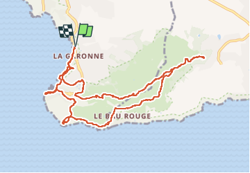

Length
12.4 km

Max alt
224 m

Uphill gradient
372 m
Km-Effort
17.4 km

Min alt
1 m

Downhill gradient
371 m
Boucle
Yes
Creation date :
2022-05-06 07:33:21.126
Updated on :
2022-05-09 15:16:42.194
3h34
Difficulty : Medium

FREE GPS app for hiking
 SityTrail
IGN / Geographical institutes
SityTrail Plus
The world is yours!
About
Trail Walking of 12.4 km to be discovered at Provence-Alpes-Côte d'Azur, Var, Le Pradet. This trail is proposed by Christiancordin.
Description
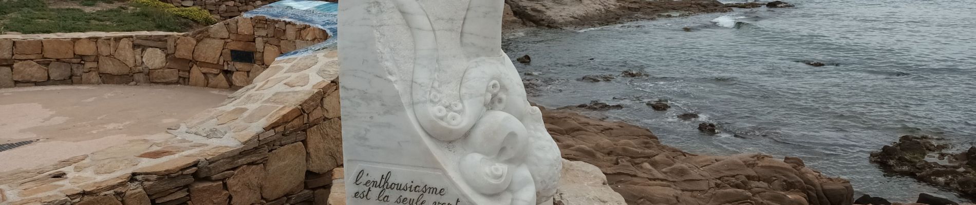
Pk de la plage de la Garonne-sentier du littoral-les Oursinières-cap de Carqueiranne-le Pas des Gardéens-la mine-Fort de la Bayarde-fort de la Gavaresse-Mauvallon-le Collet Redon.
Photos


Positioning
Country:
France
Region :
Provence-Alpes-Côte d'Azur
Department/Province :
Var
Municipality :
Le Pradet
Location:
Unknown
Start:(Dec)
Start:(UTM)
257908 ; 4775430 (32T) N.
Comments